We are moving from an era where we navigated with caution based on doubt, to one where digital precision allows us to move more wealth much more safely
By :James Crawford
Assessor in decisions of operations and innovations for technology,
for the necessary operations in maritimo-portuarias.
Can you imagine being able to load your vessel more heavily while simultaneously expanding the hours of the day in which you can enter or leave the port?
This question is not just a wish for higher profitability, but the answer to a historical problem at sea: the lack of precise information about what happens underwater. For decades, navigation has been guided by "digital maps" that, while useful, act as simplified sketches that do not show the actual relief of the seabed. This forces captains to leave very wide safety margins "just in case," resulting in ships traveling with less cargo than they could carry and hours lost waiting for the tide to rise.
The HD Revolution: From S-100 to S-102
Related : James Crawford writes : Digital conflict in the age of AtoN Resilience

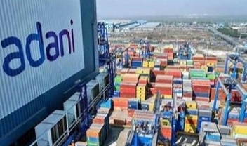
To resolve this inefficiency, maritime technology is leaping toward a new universal language called S-100, which allows the ship and the port to "talk" in real-time with astonishing clarity. Within this advancement, the S-102 standard acts as a sort of "High-Definition Google Maps" for the seafloor. Instead of seeing only isolated depth lines and points, navigators now have a continuous and detailed image of every elevation in the underwater terrain. This visibility allows every available centimeter of water to be utilized, enabling larger vessels to use the same usual channels and routes with total confidence and safety.
Precision in Motion: The S-129 Standard

However, the true magic happens when that image of the seabed is combined with the S-129 standard, which functions as an intelligent depth assistant. This system not only knows what is on the bottom but also calculates in real-time how the ship moves due to waves, weight, and speed, cross-referencing that data with the actual state of the tide. Thanks to this integration, the captain no longer has to perform conservative manual calculations; the system indicates with mathematical precision whether it is safe to pass and at what exact moment. This allows for the utilization of "time windows" that were previously considered risky, reducing wait times and fuel consumption.

The Future is Now
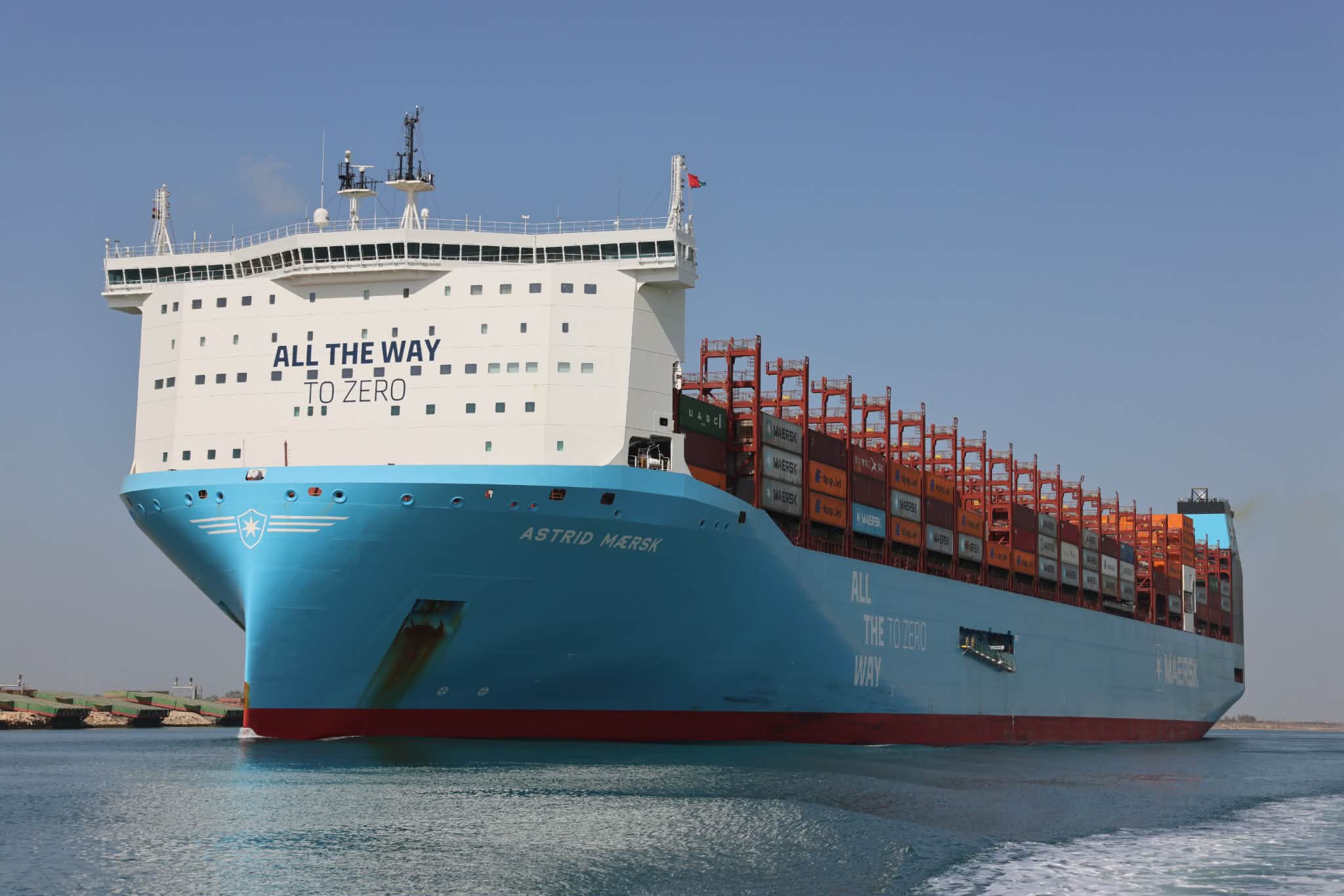
This technology is no longer science fiction; it is currently in a global deployment phase, with 2026 marked as the official start for new navigation equipment to begin operating under these rules. The world's most modern ports are already demonstrating that by eliminating guesswork and replacing it with exact data, maritime trade becomes more agile, eco-friendly, and competitive. We are moving from an era where we navigated with caution based on doubt, to one where digital precision allows us to move more wealth much more safely.And the best part? This technology and its associated services are now available for Latin America as well
#James Crawford #Latin America #modern ports #"digital maps" #Google Maps #technologyS-129 #S-100 #S-102 #mathematical precision
You Might Also Like

27 November 2025
Recommendation News

Marine News Room
Dawicki : “HALO° System is revolution in Maritime Education 20 October 2025
Marine News Room
Capt. Morgan Dawicki to ALAM Al MWANI : A require transformation of maritime education. 25 December 2025
Incidents
Tragic collision between a pilot boat and Calypso Yacht off the port of Livorno 25 February 2026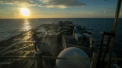
Marine News Room
A new secure maritime corridor for commercial shipping across Hormuz 12 April 2026
Incidents
Italy : A massive seizure of explosives occurred at the Port of Ancona. 05 March 2026